
Getting Around Langley BC: A Commuter's Guide to Transit, Traffic, and What's Coming by 2029
Getting Around Langley BC: Transit, Traffic & What Changes in 2029
Langley is a driving city. There is no SkyTrain and no commuter rail serving it today. Most residents drive or catch a frequent bus down Fraser Highway to Surrey Central Station and the Expo Line. That picture changes when the Surrey-Langley SkyTrain opens, with a late 2029 anticipated in-service date.
Why Getting This Right Before You Buy Matters
The most common mistake people make before moving to Langley is assuming the commute works the way it does closer to Vancouver. It does not, and finding that out after you have signed a Contract of Purchase and Sale is a costly way to learn it.
Langley is a large municipality. Where you land inside it determines whether transit is a real daily option or a theoretical one. The Fraser Highway corridor, Langley City, Willoughby, and Clayton all sit in a meaningfully different position than the rural south and east, where places like Campbell Valley, Glen Valley, and Milner put you firmly in a two-car household regardless of what you prefer.
The Surrey-Langley SkyTrain will shift this conversation permanently, but late 2029 is the Province's anticipated in-service date. That is more than three years away, and it is worth being honest about what the gap means for a household that needs transit now.
The 4 Ways People Actually Get Around
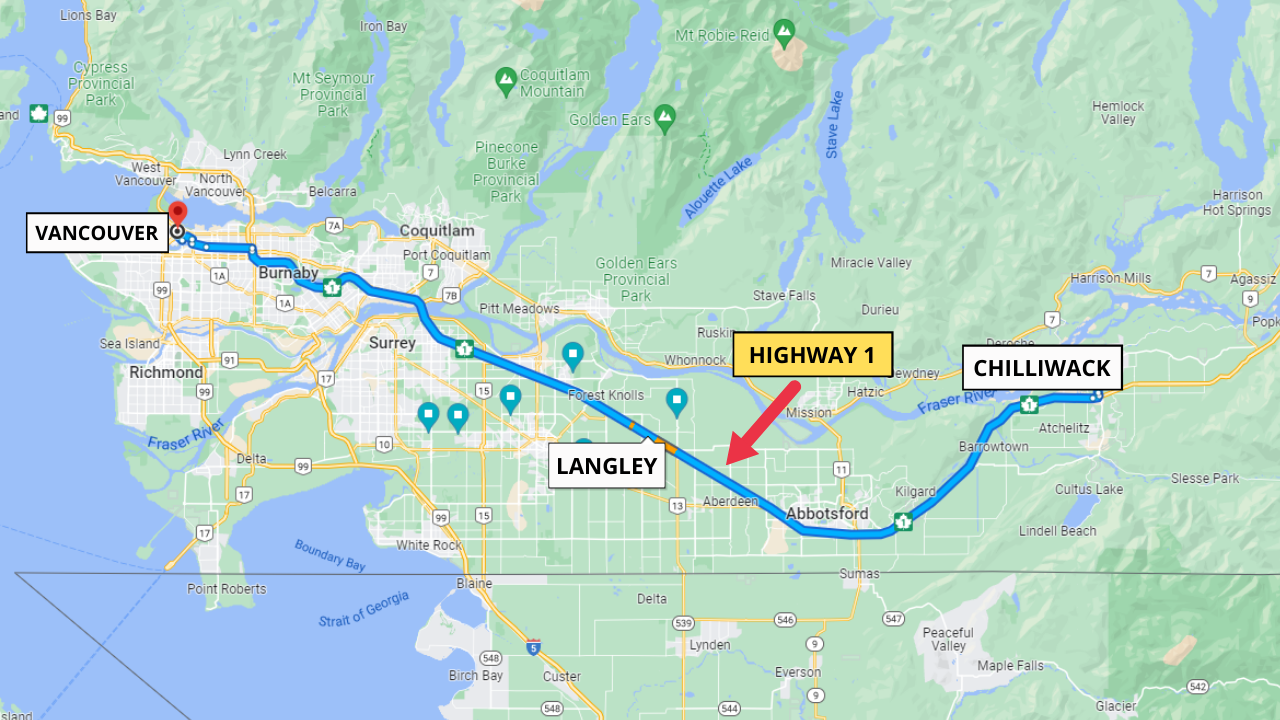
The Car: For most Langley households, this is the real answer. Highway 1 is the east-west spine. A $345 million widening between 216 Street and 264 Street is expected to finish in 2026, with the Province covering the majority and the federal government contributing $96 million through the New Building Canada Fund. The next section, from 264 Street to Mt. Lehman Road in Abbotsford, is not expected until 2029. That eastbound relief does not help a westbound commute into Surrey or Vancouver at all.
The Bus: Two routes run the Fraser Highway corridor. The 503 Fraser Highway Express runs between Langley Centre and Surrey Central Station every 10 to 15 minutes. The 502 Fraser Highway is the local version, making 34 stops along the same corridor. Use the 503 for distance, the 502 for stops in between.
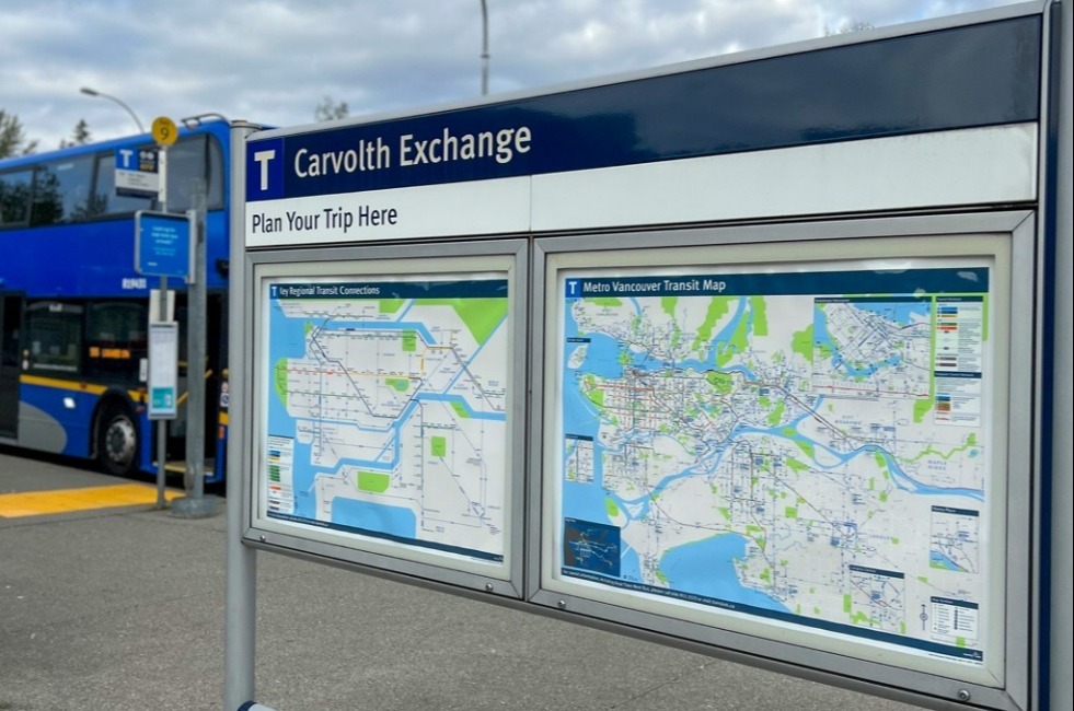
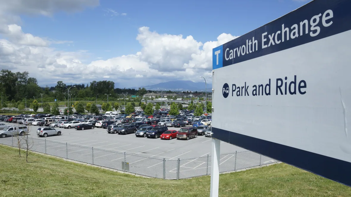
Park & Ride: Many Langley commuters drive to King George Station or Surrey Central Station and board the Expo Line from there. It works, but it is a multi-leg trip.
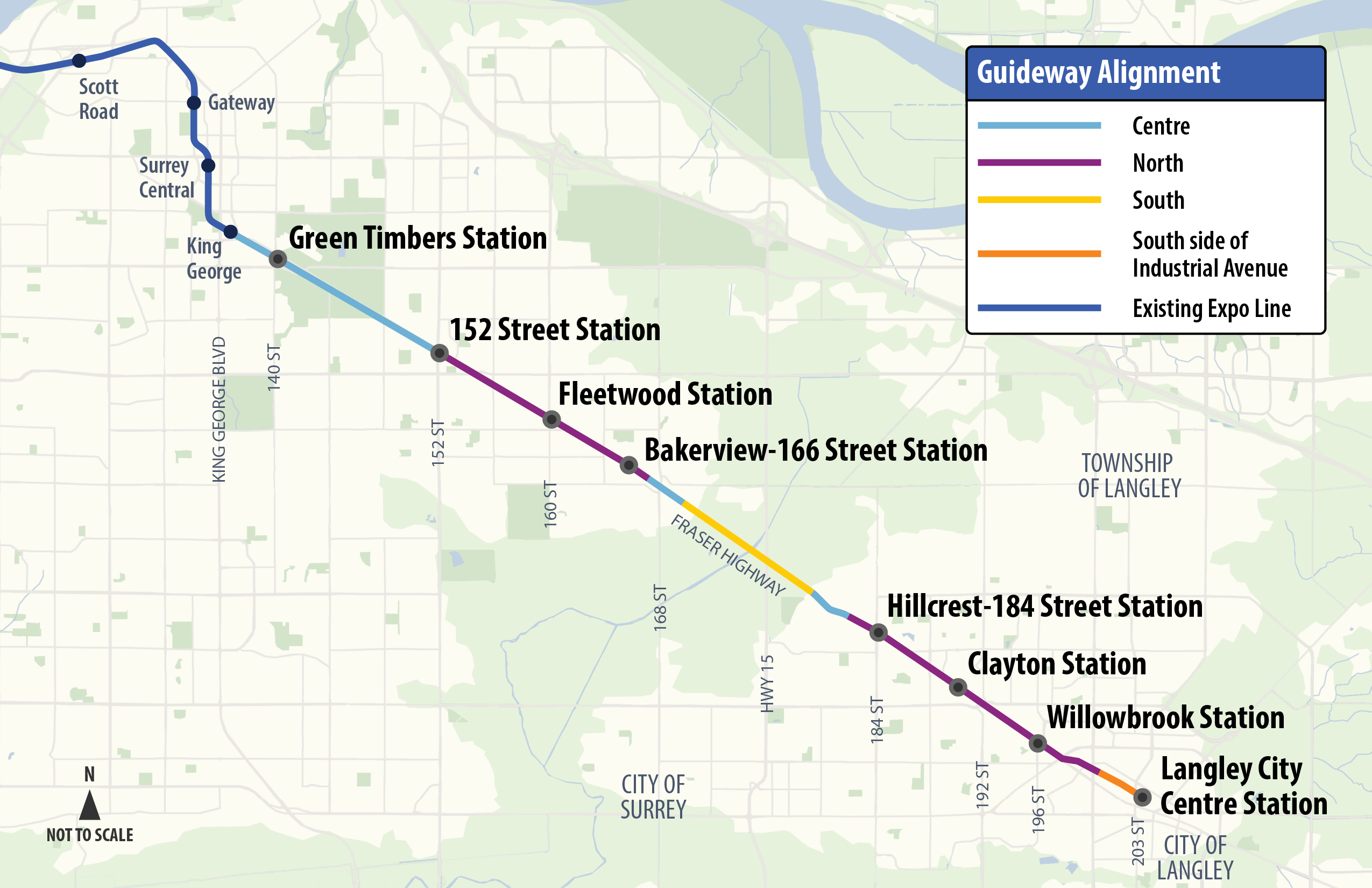
The Surrey-Langley SkyTrain: A 16km elevated Expo Line extension from King George Station to 203 Street in Langley City, with 8 stations and an anticipated in-service date of late 2029.
What the Fares Actually Cost
One thing that surprises people arriving from other cities: every bus trip in Metro Vancouver is a one-zone fare, no matter how far you travel. As of July 1, 2026, that is $2.85 with stored value on a Compass Card, or $3.50 paying cash or tapping a contactless card. A Langley to Surrey Central bus trip costs the same as a trip a few stops away.
SkyTrain is different. Langley and Surrey sit in Zone 3, so a trip into downtown Vancouver is a three-zone fare: $5.40 with stored value or $6.70 in cash as of July 1, 2026. Most people do not know the exception: any SkyTrain trip starting after 6:30pm on a weekday, and all travel on Saturdays and Sundays, is charged as a one-zone fare regardless of distance. An evening trip from Langley to downtown Vancouver costs $2.85, not $5.40. If your schedule has any flexibility, that is real money over a month.
The Golden Ears Bridge has been toll-free since September 1, 2017, when the Province removed tolls on both the Golden Ears and the Port Mann. That makes the north-of-the-Fraser job market genuinely accessible from Langley with no daily toll cost.
How the Options Compare
| Option | Fare (Stored Value) | Key Detail |
|---|---|---|
| Bus (any route) | $2.85 | Always one zone, no matter the distance |
| SkyTrain, peak hours | $5.40 (3-zone) | Langley & Surrey are Zone 3 |
| SkyTrain, after 6:30pm weekdays or weekends | $2.85 (1-zone) | One zone regardless of distance |
| Surrey-Langley SkyTrain (opens late 2029) | Not yet set | 16km, 8 stations, Expo Line extension |
Thinking About Buying or Selling in Langley?
The best first step is a quick conversation. Pick a time in the calendar that works for you and we'll talk it through.
What This Means for Which Neighbourhood You Choose
If transit matters to you today, not in 2029, you need to be on or near the Fraser Highway spine. Langley City, Willowbrook, and the 203 Street corridor put you within walking distance or a short local bus ride from Langley Centre, where both the 502 and 503 terminate. Willoughby and Clayton are decent as well, and those are also the areas that get stations first when the Surrey-Langley SkyTrain opens.
If you are buying with a five to ten year horizon and you want to own near a future station, Willowbrook, Clayton, and Langley City Centre are the three station areas where walkability changes most. They are already zoned and planned for density around the stations.
If you are in a one-car household with someone commuting into downtown Vancouver five days a week, Langley is a hard place to make that work today. A realistic transit trip, bus to Surrey Central, transfer, then the Expo Line, puts you somewhere in the range of 90 minutes to 2 hours each way depending on where in Langley you start. Surrey City Centre near King George Station, New Westminster, or Maple Ridge if the West Coast Express schedule fits, are more honest answers for that situation.
4 Things People Consistently Get Wrong
The West Coast Express Serves Langley: It does not. The West Coast Express has 8 stations running from Waterfront in downtown Vancouver to Mission City, stopping at Moody Centre, Coquitlam Central, Port Coquitlam, Pitt Meadows, Maple Meadows, and Port Haney. Every station is north of the Fraser River, on the CP corridor. Langley is south of the river. There is no station and no plan for one.
The SkyTrain Is Basically Here: It is not. Late 2029 is the anticipated in-service date. Construction had begun on all 8 stations as of May 2026, foundation work was complete at 6 of them, and over 30% of the elevated guideway was finished. The project is real and moving, but buying for a 5-minute station walk means accepting three-plus years of driving first, plus ongoing construction impacts along Fraser Highway.
All Transit Fares Are the Same Flat Rate: Bus fares are always one zone. SkyTrain fares are not, unless you travel after 6:30pm on weekdays or any time on weekends.
The Highway Widening Fixes the Vancouver Commute: The 216 Street to 264 Street work helps eastbound trips toward Abbotsford. The constraint on a westbound Vancouver-bound commute is west of Langley, not east. The widening does not change that.
Frequently Asked Questions
Is there a SkyTrain in Langley right now?
No. As of September 2026, there is no SkyTrain in Langley. The Surrey-Langley SkyTrain is under construction and the anticipated in-service date is late 2029. Until then, the main transit option is the 503 Fraser Highway Express bus to Surrey Central Station.
How long does it take to commute from Langley to downtown Vancouver by transit?
A realistic range today is 90 minutes to 2 hours each way, depending on where in Langley you start. That trip involves a bus to Surrey Central Station, a transfer, and then the Expo Line into Vancouver. Once the Surrey-Langley SkyTrain opens, expect roughly an hour from Langley City Centre to downtown.
Does the West Coast Express stop in Langley?
No. The West Coast Express runs 8 stations from Waterfront in downtown Vancouver to Mission City, all on the north side of the Fraser River. Langley is south of the river and there is no station there, and no plan for one. Maple Ridge and Pitt Meadows are the closest options if commuter rail matters to you.
Is the Golden Ears Bridge still free to cross?
Yes. Tolls were removed from the Golden Ears Bridge on September 1, 2017, when the Province removed tolls on both the Golden Ears and the Port Mann. There is no daily toll cost for Langley residents crossing north to Maple Ridge or Pitt Meadows.
Which Langley neighbourhoods are best for transit right now?
Langley City, Willowbrook, and the 203 Street corridor are closest to where the 502 and 503 buses terminate at Langley Centre. Willoughby and Clayton also have reasonable bus access and are the first areas to get Surrey-Langley SkyTrain stations when the line opens in late 2029.

Alex Dunbar Personal Real Estate Corporation
REAL Broker BC Ltd. | Living in the Lower Mainland
Buying, selling or investing in Langley and the surrounding cities? Whether you're new to the area or a longtime local, I'll help you make the right move. Book a 30-minute no-pressure call with me and we'll go over your goals, timeline and budget.
Categories
Recent Posts





GET MORE INFORMATION